Works where the signal doesn't
Download your country once: topo map, trails, huts, contour lines and elevations stay on your phone.
 Peak Explorer
iPhone and Apple Watch app
Peak ExplorerThe trail map for hiking and biking in the mountains. Plan on real trails, record the day with honest numbers, and keep the whole map on your phone for when the signal drops.
For iPhone (iOS 26 or later) and Apple Watch, on the App Store.
Why hikers and riders keep it
Download your country once: topo map, trails, huts, contour lines and elevations stay on your phone.
Tap the map and the route follows real trails, with distance, gain, estimated time and arrival time. Or ask for a loop from where you start.
Trails colored by the SAC T1–T6 hiking scale and the Singletrail S0–S6 MTB scale, with filters for what you don't want to see.
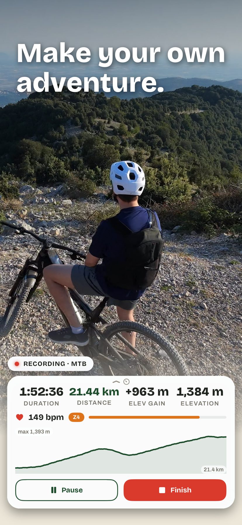
Elevation gain from the barometer, filtered for noise, not inflated. Every track keeps its profile and stats in your log.
Start from your wrist, keep an eye on heart rate and effort zone, and find the workout in Health afterwards.
Precipitation radar, lightning and hour-by-hour forecasts for any spot on the map, from public weather services.
App details
Peak Explorer is not a safety device. In the mountains, always carry a paper map, a compass and good judgment.
Map data © OpenStreetMap contributors (ODbL). Data sources and licenses: Licenses page.